Castell Henllys, Pembrokeshire, Wales

Castell Henllys, a reconstructed Iron Age Celtic hill fort.  This exact location was excavated by archaeologists several years ago, and the replica structures were built on top of the existing foundations.  The gateway, which you see above, was reconstructed according to the posthole pattern in this wavy formation.
A fire is burning here, to demonstrate the theory that these rooftops did not contain holes in the top for smoke to escape.  They had first built thatch roofs with holes in the top in the reconstructions, and found that the fire was more difficult to control.  The roofs, built with reeds, are very breathable.  When you walk in, the smoke isn't bothersome at all.


Examples of the interior

I had to play a little!

Roger, the historian and site interpreter demonstrating a lathe.

The Wicker Man!  He's hiding in the granary.

Another view of the huts


The top of one of the doorways - you can see the hollow reeds used as thatch material.

Not a bad view.

Close up of the largest hut.  I liked it here...it was a cool setup, I think, to take an exisiting archaeological site and use it as the template for a reconstructed site, which really brings to life something that would be hard for most people to imagine.  The stone structures, the wall, the ditch and mound surrounding the hill fort, and other archaeological features that remain have been left intact.

Tintagel - the legendary birthplace of King Arthur.


Tintagel Head


The coast just southwest of Tintagel.  I've been wanting to travel to Tintagel since I was a teenager, reading about the Arthurian legends.  The legends are as numerous and as varied as one could imagine, but the basic story is that Uther Pendragon, a Romano-British king, wanted Igraine, the wife of Gorlois, the Duke of Cornwall.  Uther asked Merlin to help him figure out a way to spend the night with her in Tintagel, where she lived. Merlin offered to cast a spell to make Uther look like Gorlois for one night, in exchange for the child that would be conceived.  Merlin had apparently had visions of Arthur's birth and success as a great king, so he manipulated the situation to make it happen.  The night that Uther visited Igraine, Gorlois was killed in battle.  After the birth of Arthur, Uther and Igraine married.  It's a possibility that a conection may exist - Tintagel head is covered with structural remains and artifacts dating to the 5th and 6th century, the time most people believe King Arthur was alive.


The view to the castle remains.  What you see was built by Richard, the Duke of Cornwall, in the 1200s.  Richard was a contemporary of Geoffrey of Monmouth, who spun the tales of Arthur that we know today.  Although Geoffrey of Monmouth is not a reliable historical source, he had everyone convinced that Tintagel was the birthplace of Arthur and the seat of the ancient Dukes of Cornwall.  With that in mind, Richard built this grand structure mostly out of a romantic desire to be assoicated with the mystical Arthurian legends.


Photos showing both openings from the middle of a crazy cave that cuts beneath Tintagel Head.  There must have been tons of things that went on down here.


The courtyard of Earl Richard's castle - ca 1200s.


Doorway going from Richard's courtyard toward the top of the headland.  The masonry all over Tintagel is really cool - the rock is primarily shale, a flat, thin stone, making for some interesting structural designs.
 
View northeast to Merlin's Cave.  The photos from the interior of a cave shown earlier are not from Merlin's Cave, but from one far beneath where I am standing when I took this shot.


Here you can see traces of 5th century buildings and walls.  I can see how the Tintagel headland would be great defensible space, but the weather is very violently windy and there are precipices everywhere.  You could get blown off this thing.  Can't imagine it would have been a very comfortable place to live.  However, there are more pieces of imported Mediterranean pottery that have been found here than in the rest of Britain and Ireland combined.  Obviously this area does not function well as a port, so archaeologists believe a wealthy and/or powerful group of folks must have lived here in the fifth century.


Aaahhhhh.


The view from the head toward the mainland.  You can see Richard's castle in the background built on a huge rock; in the foreground are the 5th/6th century remains.  The headland and the mainland were separated by a small isthmus when people lived here 1500 years ago.  By Richard's time it had been washed away, so he built a bridge between the two.


More of the early remains


A tunnel, which was built using metal tools, at an unknown date.  No one knows what it was used for.  Cold storage, drainage...?  Surprisingly, there is a fresh water well at the top of Tintagel head, a huge desolate rock, about 20 meters from this tunnel.


Sitting in the tunnel


View from the head to the southwest


Absolutely insane wind action.


More views from the head to Richard's castle.


This flint blade dates to be from the Mesolithic, around 6000 years ago.  It was recently found on Tintagel head.  
Graves in the cemetery at the church on the mainland just inland from Tintagel, and a Roman mile marker inside the church.  Below is a Medieval cider press a few miles away in Slaughterbridge, which is said to be the location of the last battle of Arthur, where his son Mordred killed him. 


Vellanoweth and St. Ives, Cornwall


Remembering that my archaeology professor is part Cornish, I asked around to see if anyone had heard of the name Vellanoweth.  Turns out, the 'village' of Vellanoweth was only a few miles from where I was staying, so I took the bus up there one afternoon and checked it out.  On the way I noticed The Mexico Inn, which opened about 150 years ago when some Cornish miners returned after working in Mexico.   I found that people in Cornwall are pretty aware that they have a historical relationship with Mexico.  Since my professor is Mexican, it was cool to see the connection.


I stopped at The Old Inn when I went looking for Vellanoweth, and met some fabulous folks.  One of them offered to drive me up to Tintagel the next day, so I went on a bit of a Cornish road trip.  The proprieters of The Old Inn informed me that pubs and free houses are closing down at an alarming rate in the UK - 10 to 20 per week.  They cannot compete with the cheap alcohol at grocery stores...it's sad because it's such a good way to get to know people.  SO, when in the UK or Ireland, help save a long standing tradition and GO TO THE PUBS.  That's where the good people are.

The view from Vellanoweth


Another pub - the Sloop Inn, in St. Ives, which is apparently quite famous because its been in continuous operation for over 700 years.  That's right, 700 YEARS! 


A small, narrow harbor that was used as a hideout for pirates, somewhere on the Cornish north coast.

St. Ives.  Very picturesque, artsy town.  Everyone loves St. Ives, at least that's what I hear.


Penzance, Cornwall. Pagan sites.

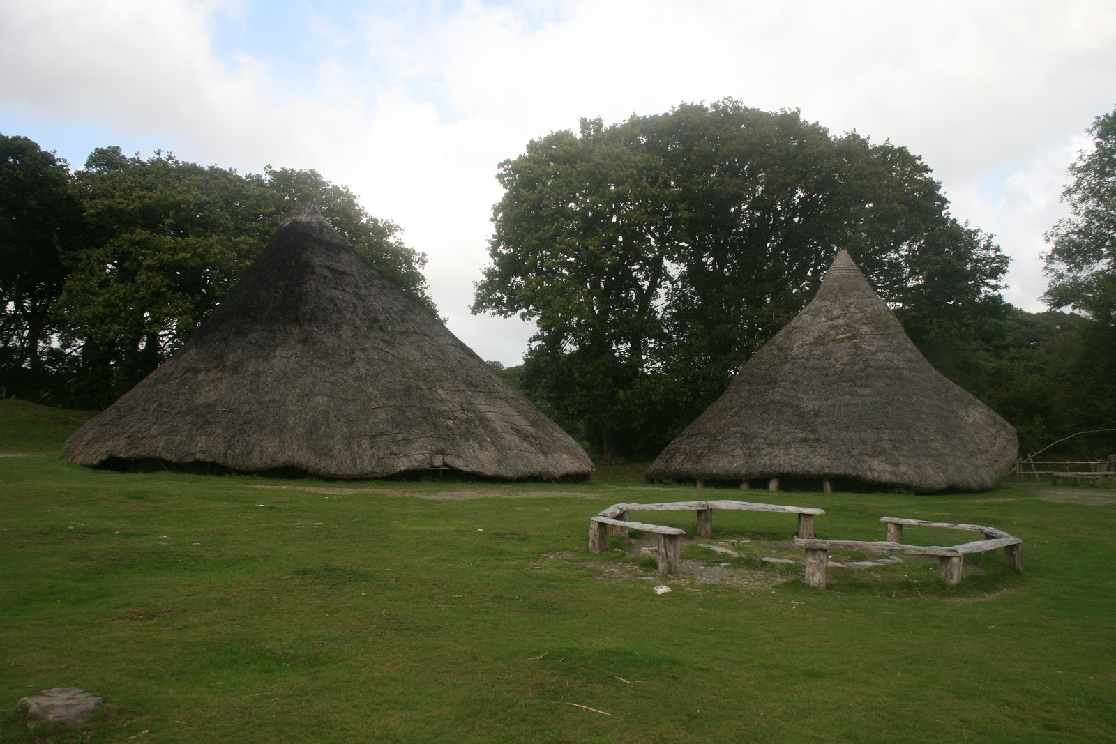
If any of you ever come out to the UK, I have three words for you: Survey Ordnance Map.  The lovely lady that runs the hostel here lent me one today.  It is filled with words like "standing stone," "tumulus," "cairn," "hut circle," all sorts of archaeological sites. This map led me along public footpaths through farms and woods to the Madron "baptistry," which dates to the 6th century AD, and the Madron wishing well, a sacred site.  A couple miles further up I reached a stone circle, the Nine Maidens, and saw numerous burial cairns on the way.  Magical today, and soaking wet as well. 


The above and below are a Celtic "chapel" or "baptismal font." (From what I understand, it's a pagan shrine of some sort). It dates to the 6th century AD.  The photo below shows where a spring has been diverted into a small gap in the wall (you can't see it in the shot) which then trickles into a small pool, where the black area is.


The footpath up to Nine Maidens from the Maden Celtic ruins and wishing well.  The paths go along walls that separate farming plots, and this one in particular went straight through a wheat field.  I noticed that someone had left some grains of wheat tied together and placed in a couple spots at the ruins.  I took off a head of wheat for myself as I walked through.  When I got back to the hostel, an Italian girl, one of my bunkmates, told me to keep it as an amulet.


3 of the stones at Nine Maidens.  I'm hugging one of them.


This one still retains much of its shape - you can see how careful they were to dress the stones.


Another shot of the three most intact stones


You can just make out many of the stones in the circle.  The little hill in the foreground is a burial cairn.


I don't know if this photo shows it well, but it appears that the stones are slightly concave facing the interior of the circle.  It tripped me out a bit.  I told the lady at the hostel that I counted 11 stones, and there must have been more...so why "Nine" Maidens?  She said the Victorians who "named" it only counted nine stones of significance, but that stone circles typically have nineteen stones.  "Nineteen," I say, "That's the same number as the lunar cycle."  "Yes," she said.  "They think the lunar cycle may have something to do with all these stone circles."  Cool.